6 Best GPX Editors and Viewers for Android in 2026

On this page
A bad GPS point can throw a track across a river, leave the drive home attached to a hike, or place a campsite on the wrong side of a valley. Tracklia is the best overall GPX editor for Android because it can correct points, waypoints, tracks, and routes before exporting a new GPX. GPX Viewer is the best viewer when you mainly need to inspect a route, elevation, or sensor data.
Choose OsmAnd for offline route editing and navigation, Locus Map for detailed outdoor track repair, or gpx.studio for a quick browser edit. The right choice starts with one question: do you need to change the file or only view it?
GPX Editor vs Viewer, Planner, Recorder, and Navigation App
A viewer draws tracks, routes, and waypoints without changing their coordinates. A recorder creates a new track, while a planner creates a future route and a navigation app follows it. Only an editor changes imported GPX data and saves the result. This ranking therefore gives the most weight to moving points, trimming, splitting, joining, reversing, editing waypoints, and exporting GPX.
1. Tracklia - Best Overall GPX Editor for Android
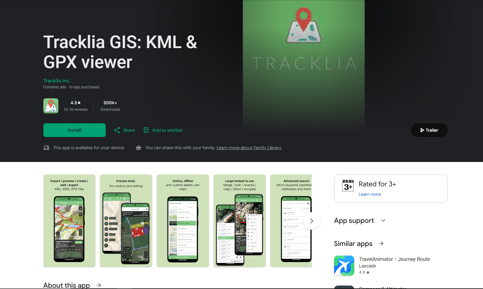
Choose Tracklia when you need to repair the GPX itself. It can add, move, or delete points; change waypoint locations and descriptions; split or join tracks; reverse direction; and export the result. A typical edit is simple: import morning-hike.gpx, remove the drive before the trailhead, move a misplaced point, rename a waypoint, and save a corrected copy.
What you get
- Direct editing of track points, routes, and waypoints
- Tools for splitting, joining, reversing, and exporting GPX files
- Basic recording and position-following navigation
What you don't get
- Advanced editing or offline vector-map downloads without Pro
- A guarantee that every timestamp, sensor field, or proprietary extension will survive export
- Advanced offline navigation
The free app contains ads and covers basic import, export, track creation, and waypoint work. Tracklia's official pricing page puts advanced editing and offline vector-map downloads in Pro, listed at €9.99 per year or €29.99 lifetime at review time. Export finished files from My Maps to a normal folder and retain the source because no complete extension-preservation guarantee is documented.
Main limitation: its strongest editing and offline-map tools require Pro. Choose OsmAnd or Locus Map when navigation and outdoor maps matter as much as the edit.
2. OsmAnd - Best for Offline Route Editing and Navigation
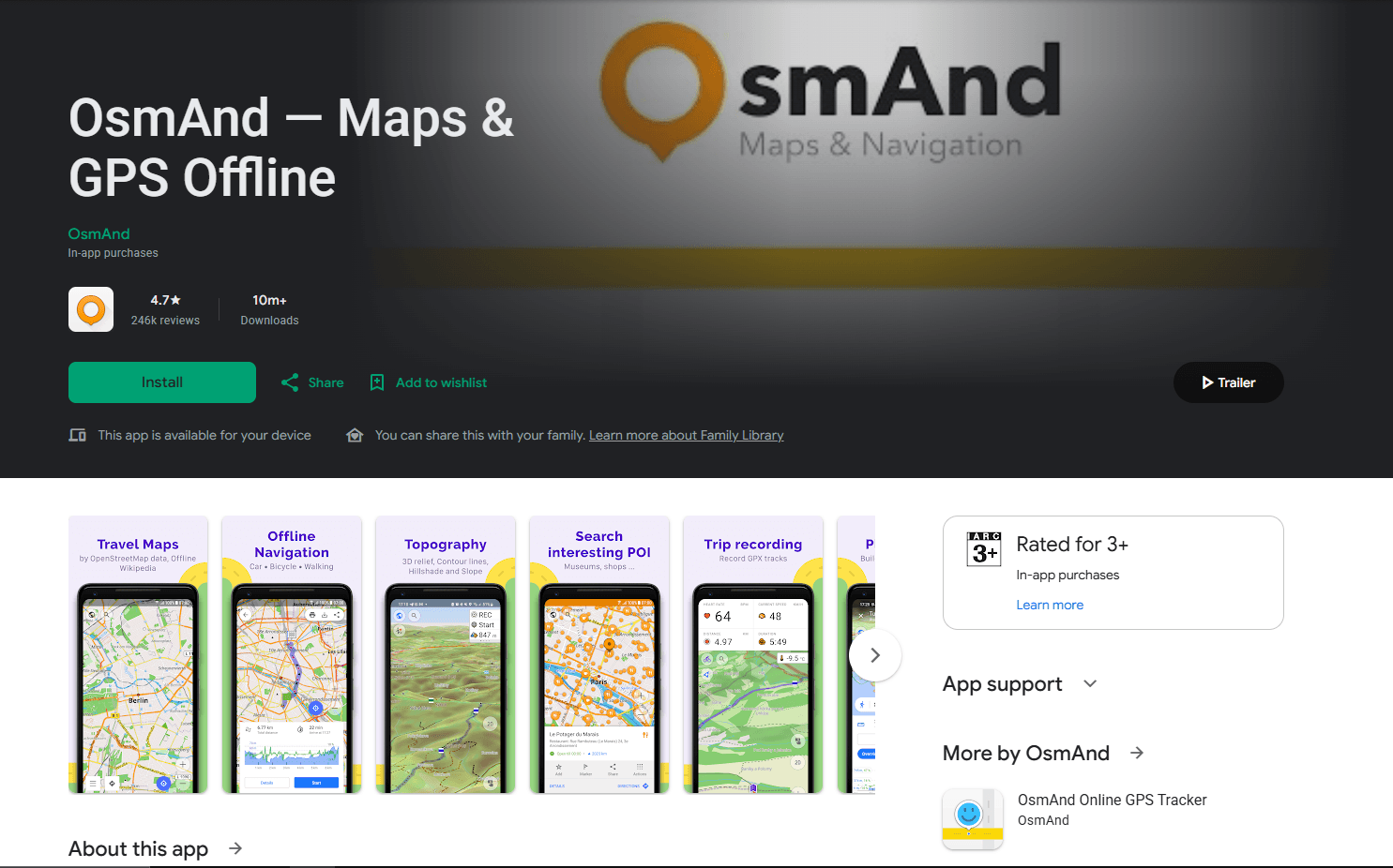
OsmAnd is the better choice when an edited route must also work offline for navigation. Open Menu > Plan a route > Open existing track / Import track to move, add, or delete points; trim either end; split or rejoin segments; reverse the route; filter inaccurate points; and save a new GPX. Routing profiles can reconnect an edit along roads or trails after the required map is downloaded.
What you get
- Track-point editing, trimming, splitting, joining, and reversing
- Offline maps, route planning, navigation, and GPX export
- Road and trail routing profiles
What you don't get
- A lightweight interface for occasional one-point corrections
- Strong standalone waypoint-metadata editing
- A guarantee that road snapping will preserve the original geometry, elevation, or activity statistics
OsmAnd's route documentation explains the key export choice. Full track data retains OsmAnd navigation information for later editing; Simplified track removes route instructions for broader compatibility. Snapping an old recording to roads can also recalculate geometry, elevation, distance, speed, and time-derived statistics, so save that result under a new filename.
The free Android version imports and exports GPX, plans routes, records trips, and supports offline navigation. Its current limit is seven regional map downloads or updates. According to the official Android purchase table, Maps+ costs $14.99 per year or $69.99 as a one-time purchase in the US, while OsmAnd Pro is $5.99 per month or $39.99 per year. Prices vary by region.
Main limitation: its many map and routing controls make a one-point correction feel heavier than Tracklia. Choose Locus Map when precise outdoor track repair is the priority.
3. Locus Map - Best for Precise Track Repair and Outdoor Map Work
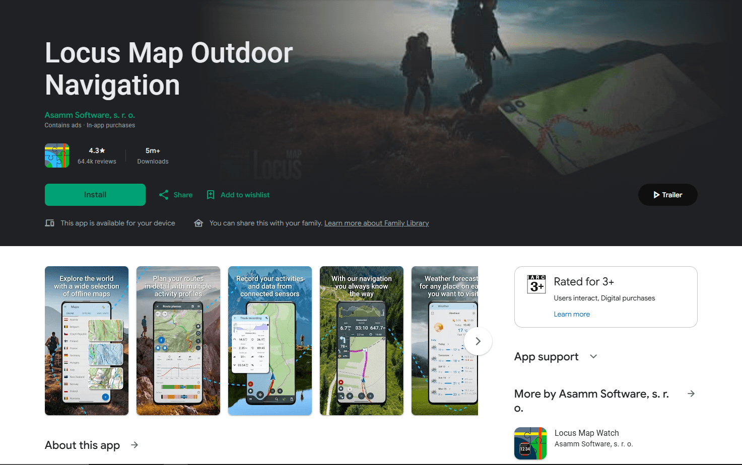
Locus Map is the strongest choice for correcting a track against detailed outdoor maps. Its editor can cut an inner section, remove everything before or after a point, split or merge tracks, and move points through a magnified positioning view. That magnifier makes it easier to place a covered point accurately on a phone screen.
What you get
- Precise point placement with a magnified editing view
- Tools to cut, split, merge, reverse, and reroute tracks
- Outdoor maps plus detailed track and waypoint management
What you don't get
- A simple interface designed only for quick occasional corrections
- Every map, cloud, and advanced outdoor feature in the free tier
- A documented guarantee that every proprietary GPX extension survives an edited export
The track-editing manual separates Edit track for point-by-point changes from Re-route for moving shaping points or extending a planned path. Locus also edits standalone point names, descriptions, coordinates, icons, and attachments. Reversed tracks may retain incorrect old navigation commands, so inspect a reversed route before following it.
The Google Play app is free with ads and in-app purchases. New users receive three free LoMap downloads, while Premium Silver and Gold add map, sport, web, cloud, and offline features. Current pricing is shown by region inside the app. A Locus account is required for Premium, the Locus Store, cloud services, and live tracking, not for every local GPX action.
Main limitation: Locus has a deeper learning curve and a tiered map ecosystem. It suits recurring outdoor work better than a quick three-point cleanup.
4. gpx.studio - Best Browser-Based GPX Editor on Android
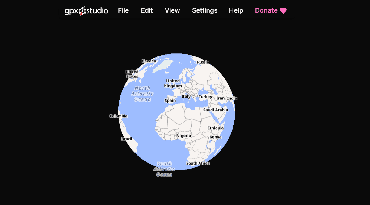
Use gpx.studio for an occasional edit without installing an app. In Chrome, it can move or delete points, crop or split a track, reverse it, change a loop's start, manage waypoints, reduce point count, rearrange segments, merge files, and download a new GPX. Export controls cover time, temperature, heart rate, cadence, power, and surface data.
What you get
- Track-point editing, cropping, splitting, reversing, merging, and waypoint tools
- Control over which common sensor fields are included during export
- A free browser editor that does not require an app or account
What you don't get
- Normal map, elevation, search, and routing use without an internet connection
- A comfortable precision-editing experience on every small phone screen
- Untouched sensor values or timestamps when points are inserted or files are merged
The free, ad-free editor needs no account for local files. Its privacy policy says files are processed in the browser, although maps, elevation, search, and routing still use online services. Inserted points may receive averaged sensor values, and merged tracks may receive shifted timestamps, so the export is not an untouched copy.
Main limitation: its desktop-shaped controls are crowded on a small phone and normal map use requires a connection. It works better on a tablet.
5. OpenTrackEditor - Best Free Open-Source Track Geometry Editor
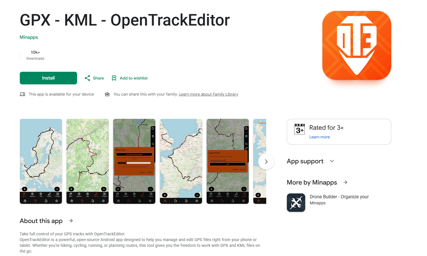
OpenTrackEditor is the focused choice for free, open-source track geometry editing. It imports and exports GPX and KML, creates tracks, moves or deletes individual points, joins tracks, reverses a track or segment, and reduces point count. The ad-free app has no subscription or documented account requirement, and its source code uses the GPL-3.0 license.
What you get
- Free, ad-free, open-source GPX and KML editing
- Tools to move, add, delete, join, reverse, and reduce track points
- A focused geometry editor without a subscription or documented account requirement
What you don't get
- Finished elevation, timestamp, file-repair, or advanced statistics tools
- Clearly documented management of complete standalone waypoint metadata
- A mature outdoor mapping and navigation system
Its roadmap still lists elevation graphs, timestamp tools, file repair, a dedicated cut tool, and richer statistics as unfinished, even though the Play description broadly mentions cutting tracks into segments. Because those sources conflict, do not select it specifically for trimming. Standalone waypoint metadata and preservation of sensor or vendor data are also not clearly documented.
Main limitation: it edits track shape, not the full activity record. Choose Tracklia or gpx.studio when named waypoints and descriptions matter as much as the line.
6. GPX Viewer and GPX Viewer PRO - Best Overall GPX Viewer for Android
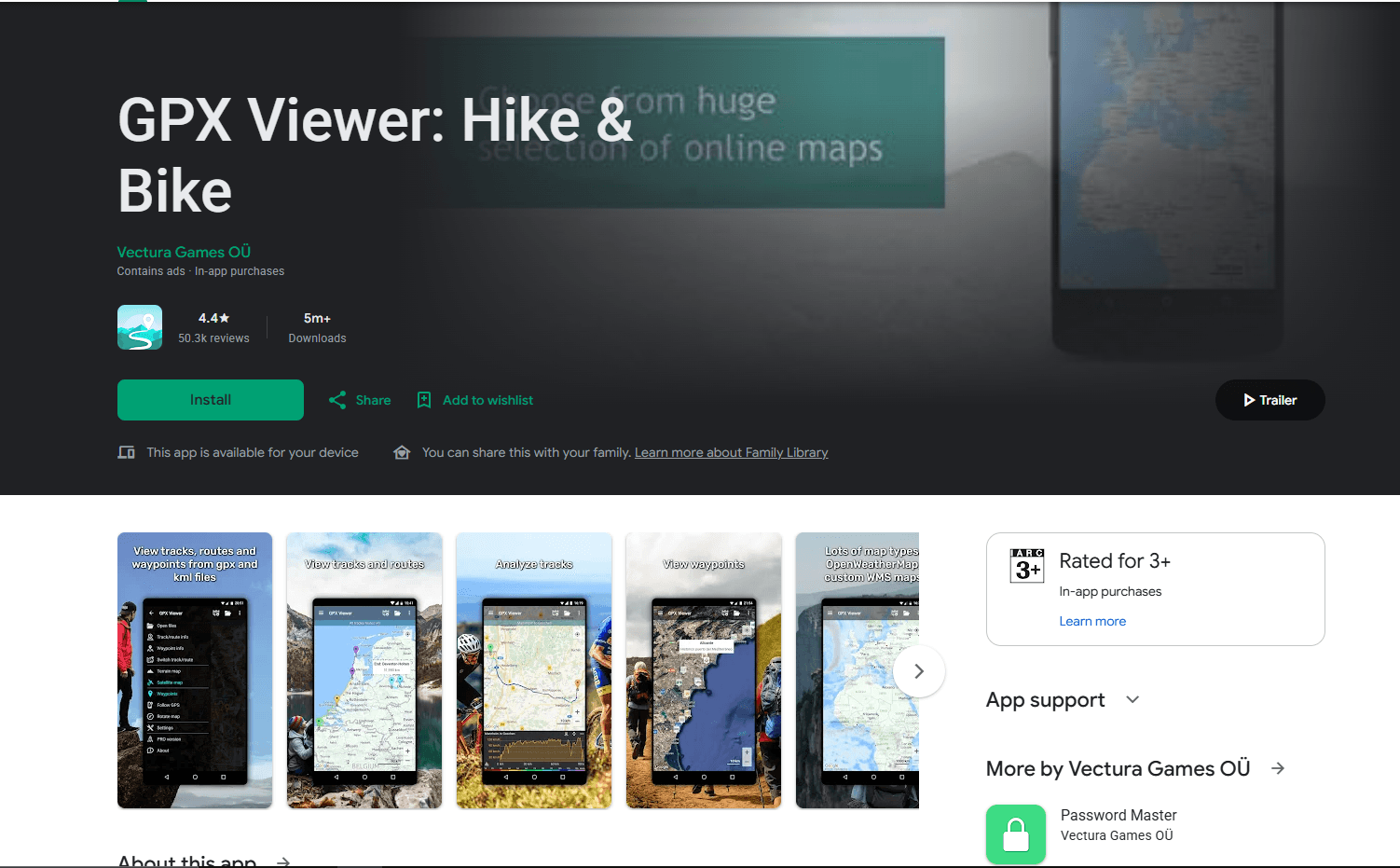
Install GPX Viewer when you need to understand a file before changing it. The free app displays multiple tracks, routes, waypoints, elevation, speed, cadence, heart rate, power, and temperature when available. GPX Viewer PRO adds manual point and waypoint editing, track creation, splitting, merging, offline maps, recording, and GPX export.
What you get
- Clear inspection of tracks, routes, waypoints, elevation, and available sensor data
- Multiple-file comparison
- Manual editing, offline maps, recording, and export in PRO
What you don't get
- Point editing in the free edition
- A routed snap-to-road or snap-to-trail editing workflow
- A guarantee that exported files preserve every proprietary extension
The free app contains ads. The separate GPX Viewer PRO listing was $8.99 in the US at review time. PRO can save edits locally or to Trackbook, but its documentation does not promise preservation of every vendor extension. Location permission is relevant to recording, not ordinary file viewing.
Main limitation: the free edition cannot edit points, and PRO uses manual placement rather than documented road or trail snapping. Tracklia, Locus Map, or OsmAnd is better for repeated repair.
GPX Editor and Viewer Comparison for Android
Best GPX App by Use Case
Choose Tracklia for direct point, waypoint, trim, reverse, and merge work in one native app. Choose OsmAnd when an edited cycling or driving route must also work offline for navigation; keep Full track data for OsmAnd or use Simplified track for wider compatibility.
Choose Locus Map for careful repair against detailed outdoor maps and long-term track management. Choose GPX Viewer when an attachment mainly needs to be opened, checked, and followed; upgrade to PRO only for occasional manual edits.
Choose OpenTrackEditor for free, open-source geometry editing when sensor data and detailed waypoint metadata are not essential. Use gpx.studio for a quick browser-based crop, merge, timestamp change, or sensor-field export, preferably on a tablet.
Use the site's GPX Merger when joining files is the only task. For private routes, work locally, avoid optional cloud sync, leave location permission off during ordinary editing, and trim the start and finish near home before sharing.
How These Applications Were Selected
Editors were ranked by the GPX changes they can save, while viewers were assessed on file support, maps, sensor inspection, and offline use. Availability, maintenance, pricing, permissions, accounts, and export limits were checked against current store listings, manuals, support pages, and official repositories.
Research Methodology and Evidence Limits
This is a documentation-based comparison, not a hands-on benchmark. No vendor publishes a complete guarantee that every GPX element survives every edit. For Garmin, Strava, Wahoo, or fitness-lab exports, use Save as new, reopen the result in a second viewer, and keep the original because a correct-looking line does not prove that timestamps or sensor data survived.
Android-Specific GPX Advice
Open an attachment without losing the original
Download the attachment, open Downloads/route.gpx through Android's file picker, and export the result to Downloads or Documents under a new name. Some apps import a private copy while others retain access to the selected document, so do not assume the original and edited file are stored together.
Save a copy before changing geometry
Save route-edited.gpx instead of overwriting route.gpx. Splitting, joining, road snapping, simplification, and reversal may also change segments, times, elevation, navigation instructions, or sensor values. Use Android's system picker rather than trying to move files through protected app folders such as Android/data.
Use a tablet for dense point work
A phone is adequate for trimming an end, deleting a visible spike, or moving one waypoint. A tablet gives long routes, elevation graphs, split points, and editing controls more room, making dense point work easier to follow.
Separate offline maps from offline editing
Offline editing and offline maps are separate features: an app may change a local GPX while showing a blank basemap. Download the required region before leaving coverage, open the route once, and test it in airplane mode. gpx.studio still needs online map and routing services during normal use.
Treat live recording as a different permission decision
Opening an existing GPX does not need the phone's current position. Use Allow only while using the app for navigation when possible, and grant background location only when documented recording or guidance must continue with the screen off. Review the permission after the trip.
Privacy, Permissions, and Offline Use
A GPX recording can reveal a home, hotel, workplace, parked vehicle, travel times, and personal activity data. Before sharing, trim sensitive start and end points, remove private waypoints, and decide whether timestamps and sensor values belong in the public copy.
Local file processing does not mean every map or routing request stays on the phone. Avoid optional cloud features when they are unnecessary, review Settings > Apps > [App name] > Permissions > Location, and check the current Google Play data-safety panel because disclosures can change.
Frequently Asked Questions
Can you edit a GPX file on Android?
Yes. Tracklia, OsmAnd, Locus Map, OpenTrackEditor, gpx.studio, and GPX Viewer PRO can change at least part of the underlying track geometry and save or export GPX. Their scope differs: Tracklia covers the broadest direct editing workflow, while the free GPX Viewer app mainly displays and analyzes data.
What is the difference between a GPX viewer and a GPX editor?
A viewer reads coordinates and draws them on a map. An editor changes coordinates, waypoint fields, track structure, or route structure and saves a new file. Displaying an elevation graph, recording a trip, or following a track does not by itself make an app an editor.
Can Google Maps edit GPX files on Android?
No, the normal Google Maps app is not a GPX editor. Google's own help says custom My Maps can be viewed in Google Maps on Android, while creation and editing happen through My Maps in a web browser. Even there, the workflow edits a Google map layer rather than offering the track-point and GPX-preservation controls of a dedicated editor.
Can I trim a GPX track on Android?
Yes. Tracklia can split and edit tracks, OsmAnd has Trim before this point and Trim after this point, Locus Map can remove sections before, after, or inside a track, and gpx.studio provides crop and split controls.
Can I merge GPX files on Android?
Tracklia, Locus Map, gpx.studio, and OpenTrackEditor can join tracks. When no route planning or map work is needed, the browser-based GPX Merger is a shorter workflow for combining GPX files locally. The related GPX merging guide explains tracks, routes, waypoints, segments, and timestamps.
Can I edit GPX files without an internet connection?
Yes, with limits. Native apps can change a locally stored file without a connection, but maps and route calculation may require downloaded data. OsmAnd and Locus Map are the stronger offline choices; Tracklia's offline vector-map downloads are a Pro feature. gpx.studio is not the offline recommendation.
Does editing remove timestamps or elevation data?
It can. Moving, simplifying, merging, or snapping points may recalculate or synthesize values. OpenTrackEditor's roadmap still lists timestamp extraction and elevation graphs as unfinished. gpx.studio documents averaging sensor fields for inserted points, and OsmAnd warns that attaching a track to roads can change elevation, speed, and time-derived statistics.
How do I hide my home location before sharing a GPX file?
Work on a copy, then delete or trim the first and last points until the public track begins and ends at a non-sensitive landmark. Remove home-related waypoints and descriptions. Reopen the exported file in a separate viewer to confirm the private section is gone.
Related GPX and Android Resources
- Merge GPX files in your browser when joining files is the only required operation.
- Read the GPX merging guide for track, route, waypoint, segment, and timestamp handling.
- Download sample GPX files to learn the structure without exposing personal location history.
- Compare GPX editors and viewers for Windows when the file will also be edited on a desktop PC.
- Compare GPX editors and viewers for Mac when the same routes move between Android and macOS.
- Compare XML editors for Android when the task requires inspecting GPX markup directly rather than editing a map.
Final Recommendation
Start with Tracklia if the requirement is genuinely editing GPX on Android. It covers the widest useful combination of point repair, waypoint changes, trimming, splitting, joining, reversing, creation, recording, and GPX export, though advanced work requires Pro. Start with the free GPX Viewer instead when the file only needs opening, elevation or sensor inspection, and navigation; its paid PRO edition can also handle occasional manual point edits.
Use OsmAnd instead when offline routing and navigation lead the decision, or Locus Map when careful outdoor track repair will be a recurring task. Keep GPX Viewer installed as an inspector, and always preserve the source file before an editor rebuilds the data behind the line.
Read More
All Articles
7 Best GPX Editors and Viewers for Windows in 2026
Compare the best GPX editors and viewers for Windows 10 and 11 for editing track points, planning routes, viewing elevation, using offline maps, and managing Garmin devices.
7 Best GPX Editors and Viewers for Mac in 2026
Compare the best GPX editors and viewers for Mac for repairing track points, planning routes, viewing elevation, using offline maps, and managing Garmin devices.
How to Merge GPX Files: Free Tools & Methods (2026)
Merge GPX files with an online tool, Python, or GPSBabel. Combine tracks, waypoints, and routes from Garmin, Strava, Komoot, and more.