7 Best GPX Editors and Viewers for Windows in 2026

On this page
A GPX file may include the drive to a trailhead, a GPS spike across town, or a route facing the wrong direction. RouteConverter is the best overall GPX editor for Windows because it directly changes tracks, routes, waypoints, and individual positions, supports more than 100 formats, and offers a portable Windows download.
Choose QMapShack for advanced offline maps and route planning, GPXSee for read-only inspection, or Garmin BaseCamp when Garmin hardware is central to the workflow. The first decision is whether you need to change the file, plan a future route, analyze past activities, or simply view the data.
GPX Editor vs Viewer, Planner, Analyzer, and Device Manager
A viewer draws tracks, routes, and waypoints and may chart elevation or sensor data without changing the file. A planner creates a future path, an analyzer organizes completed activities, and a device manager transfers data to GPS hardware. Only an editor changes imported coordinates or GPX structures and exports the result, so direct editing carries the most weight in this ranking.
1. RouteConverter - Best Overall GPX Editor for Windows
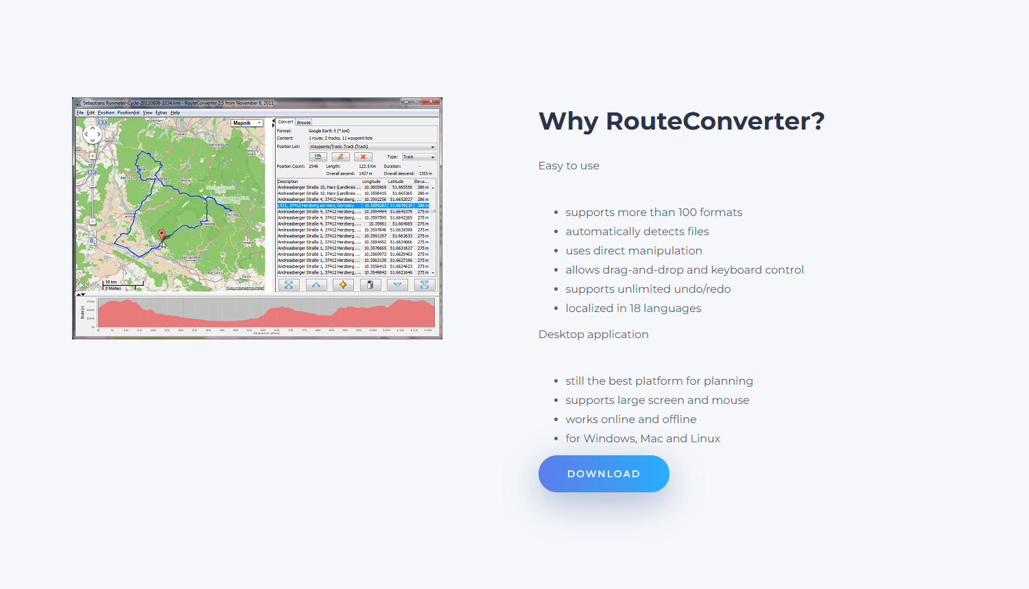
Choose RouteConverter when the file itself needs changing without the setup of a full mapping suite. Its position list exposes every point in a track, route, or waypoint collection, making it possible to move, delete, reorder, split, merge, reverse, simplify, or convert the data. A typical cleanup is direct: open Downloads\weekend-ride.gpx, remove the points before the trailhead, join another segment, and save a corrected copy.
What you get
- Direct editing of track points, routes, waypoints, and position lists
- Splitting, merging, reversing, simplifying, conversion, and unlimited undo and redo
- Free local editing with offline maps and routing after setup
What you don't get
- A modern native Windows interface
- Guaranteed preservation of every proprietary sensor field or GPX extension
- Ready-to-use offline maps without downloading additional data
Version 3.5 remains current and requires Java 21. The official Windows and Windows Portable packages bundle Java, and local editing requires no account. Mapsforge maps and local routing data can work offline after they are downloaded; search, online tiles, and server-based routing still need a connection.
Broad format support does not guarantee a lossless round trip. RouteConverter documents support for some sensor extensions, but not every vendor namespace or field. Keep the original Garmin, Wahoo, OsmAnd, or fitness-platform export and inspect important timestamps and sensor data after editing.
Main limitation: the Java interface is dense, and files with proprietary extensions need a careful export check.
2. QMapShack - Best for Advanced Editing, Offline Maps, and Route Planning
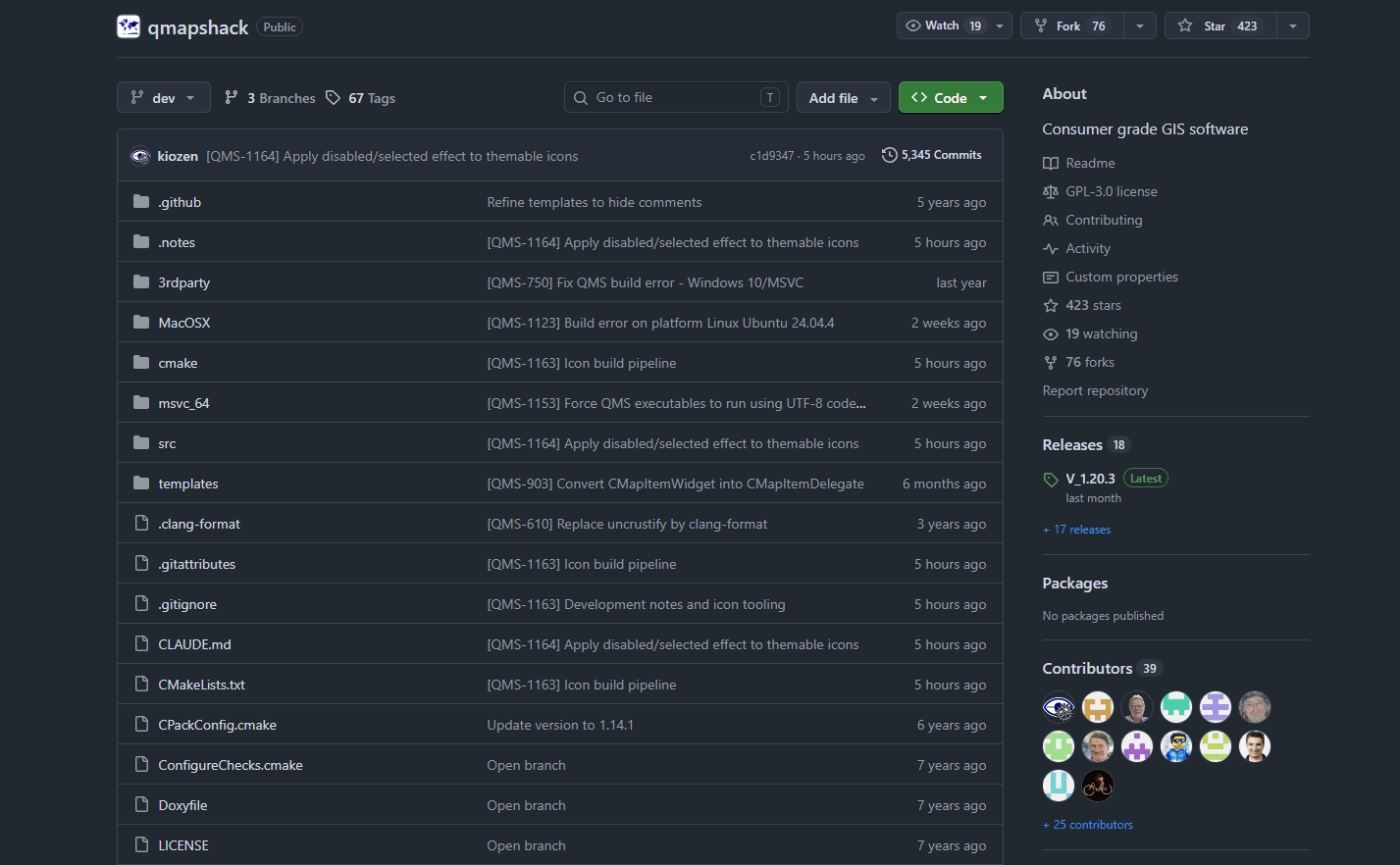
QMapShack is the stronger choice when GPX editing belongs inside a recurring offline-mapping workflow. It combines track and waypoint editing, route creation, elevation analysis, multiple map layers, local routing, track snapping, filters, project storage, and supported GPS-device access. Tracks can be cut, combined, reversed, smoothed, or resampled with unlimited undo and redo.
What you get
- Advanced track editing, filters, track snapping, and unlimited undo and redo
- Offline maps, DEM elevation, local routing, and multi-layer projects
- Waypoint management, project storage, and support for selected GPS devices
What you don't get
- A quick learning curve for a one-point correction
- An official portable, 32-bit, or Microsoft Store build
- A guarantee that every proprietary GPX field survives export
Version 1.20.3 is the current release. The project links to a separate 64-bit Windows build and is free under GPL-3.0. Useful offline operation requires maps, digital elevation models, and routing data to be configured before leaving a connection.
QMapShack projects may live in its database rather than in the source GPX. Import a copy, export the finished route deliberately, and reopen that file in another viewer. It can work with selected Garmin and TwoNav devices, but BaseCamp remains the simpler specialist choice for Garmin maps and established Garmin libraries.
Main limitation: maps, DEM files, routing engines, projects, and workspaces make initial setup demanding.
3. GpsPrune - Best No-Install Track Cleanup Tool
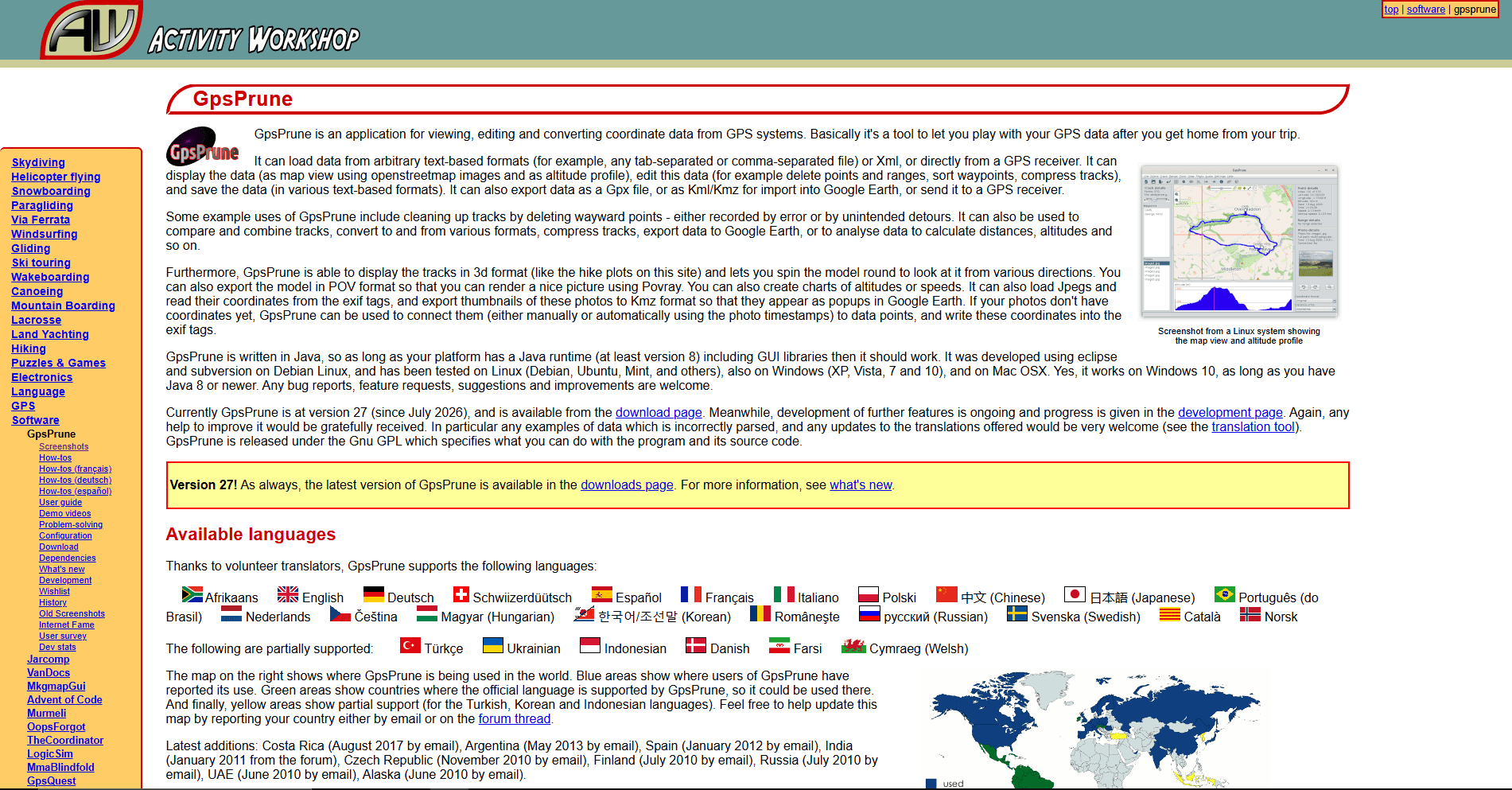
GpsPrune suits focused cleanup without a large mapping suite. It can move individual points, delete a selected range, compress dense tracks, mark implausible jumps, draw tracks, create waypoints, merge segments, reverse a range, display elevation or speed profiles, and export GPX.
What you get
- Point movement, range deletion, compression, merging, and reversal
- Waypoint creation, track drawing, profiles, and GPX export
- A small no-install application that can cache map tiles
What you don't get
- A native Windows interface or operation without Java
- A rich calculated-route model
- Guaranteed preservation of every field during export
GpsPrune 27 was released in July 2026. Save gpsprune_27.jar and open it with Java; no installer is required. The primary build now needs Java 21 or later, while a separate gpsprune_27_java8.jar supports Java 8. The developer documents Windows 10 testing but does not publish an explicit Windows 11 test claim.
Map tiles can be cached for offline use, and optional device transfer requires GPSBabel. GpsPrune's documentation also warns that GPX and KML cannot represent every field it can load, so export to a new filename when timestamps, sensor values, or proprietary metadata matter.
Main limitation: portable convenience comes with a Java dependency and a functional rather than native Windows interface.
4. gpx.studio - Best Browser-Based GPX Editor
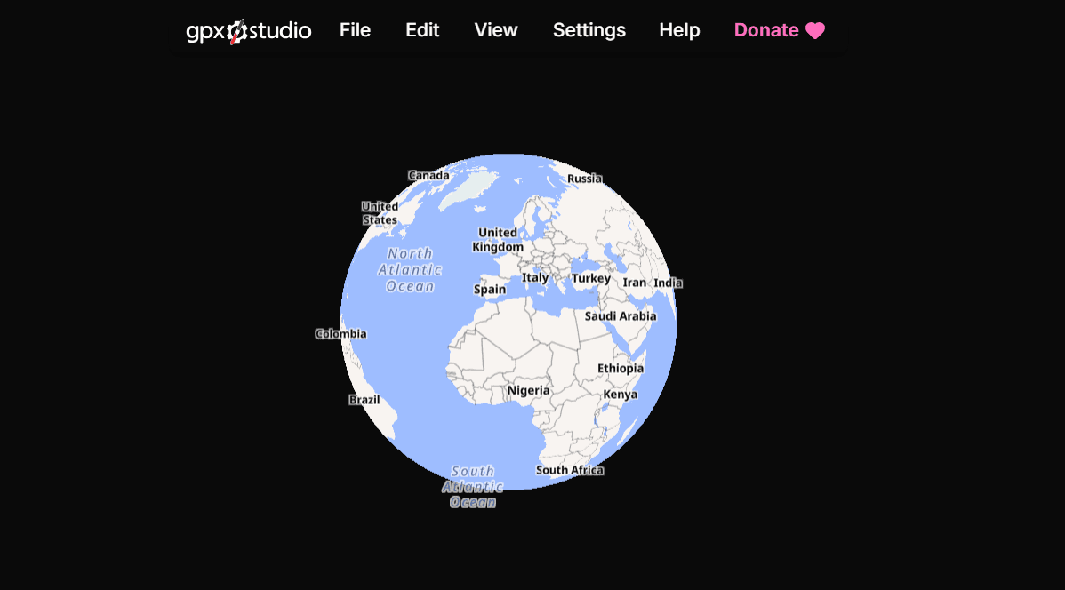
Use gpx.studio for an occasional edit on a locked-down PC. It can move points, create routes, manage waypoints, crop, split, reverse, simplify, merge, and reorganize tracks or segments before downloading a new GPX. Its tree view also allows compatible items to be copied or moved between files.
What you get
- Point editing, cropping, splitting, reversing, merging, and file-structure controls
- A free, ad-free editor that needs no installation or account
- Export controls for common time, elevation, and sensor fields
What you don't get
- Normal map, routing, elevation, and search use without a connection
- A desktop application or permanent local project database
- Untouched sensor values or timestamps after every transformation
The project says GPX files are processed in the browser and do not leave it. Maps, routing, elevation, and geocoding still use network services, so file processing can remain local while coordinate-related requests leave the PC. Inserted points may receive averaged values, and merging timed tracks may shift timestamps to maintain chronology.
Drag a local file from File Explorer or use File > Open, then export under a new name. Files stored only as OneDrive placeholders must first be downloaded to the PC.
Main limitation: normal map and routing use depends on network services, making it a poor fit for sensitive routes or offline work.
5. Garmin BaseCamp - Best for Garmin GPS Devices
Choose Garmin BaseCamp when a route or track must move to or from compatible Garmin hardware. It can move, add, and delete track points; split or join tracks; reverse tracks during a join; draw new tracks; create routes and waypoints; show graphs; and export GPX.
What you get
- Track, route, and waypoint editing tied to Garmin device management
- Splitting, joining, reversing, drawing, conversion, graphs, and GPX export
- Access to compatible Garmin maps and supported GPS hardware
What you don't get
- A portable installation or support for Windows S mode
- A modern release cadence or the best general-purpose interface
- Identical route behavior across BaseCamp, Garmin Explore, and every device
Garmin lists Windows version 4.7.5 as current. BaseCamp is a conventional installer and cannot run while Windows 10 or 11 remains in S mode. Local library work does not require an account, while offline maps depend on installed Garmin products or a connected device.
Copy device data into My Collection, edit a duplicate, export a backup, and only then send the result back. BaseCamp is included for its distinct Garmin USB and map workflow, not as the default editor for unrelated GPX files.
Main limitation: the interface and release cadence are dated, and its advantage is small without Garmin hardware or maps.
6. GPXSee - Best Lightweight GPX Viewer
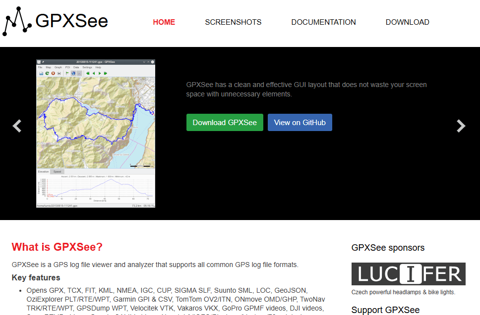
Install GPXSee when a file needs inspection rather than correction. It displays multiple tracks, routes, and waypoint files against online or offline maps and charts elevation, speed, heart rate, cadence, power, temperature, and gear data when those fields are present.
What you get
- Fast read-only inspection of GPX geometry and available sensor graphs
- Support for multiple files, many GPS formats, and extensive offline-map formats
- PDF and PNG export without rewriting the source GPX
What you don't get
- Track-point, waypoint, or route editing
- Export of a corrected GPX file
- An official portable package or current 32-bit build
GPXSee describes itself as a viewer and analyzer. It cannot move points, split tracks, create routes, or save a corrected GPX. That narrow role makes it useful for checking whether an edited file still has plausible geometry and sensor graphs.
Version 16.12 was released in August 2026. The free, open-source program offers a 64-bit Windows installer and supports many offline formats, including MBTiles, PMTiles, Garmin IMG, Mapsforge, KMZ, GeoTIFF, and several SQLite map formats.
Main limitation: GPXSee is intentionally read-only. Choose it when inspection is the whole job.
7. MyTourbook - Best for GPX Activity Analysis
MyTourbook is designed for runners, cyclists, and hikers who want to organize and compare completed activities. It imports GPX into a local tour database, displays maps and charts, analyzes measurements, manages tags and equipment, and exports selected tours to GPX or TCX.
What you get
- A local activity library with maps, charts, comparisons, tags, and equipment tracking
- Editing of coordinates, altitude, heart rate, temperature, cadence, and tour metadata
- GPX and TCX export with installer and ZIP distribution options
What you don't get
- A direct map-first editor for quick route repair
- A road or trail planner for a future trip
- Lossless support for every GPX feature and vendor extension
MyTourbook 26.8 was released in August 2026 and uses Java 21. Windows downloads include a 64-bit installer and a ZIP package, with embedded Java recommended by the developer. The ZIP can be extracted to a chosen folder and uses the same local tour data as the installed version.
Its tour editor can change coordinates and recorded values for individual time slices, but importing into a database and exporting later remains a conversion workflow. The official format documentation does not promise support for every GPX feature, so retain the original when sensor extensions or XML structure matter.
Main limitation: it is an activity library and analyzer first. Use RouteConverter, QMapShack, or gpx.studio to design or repair routes directly on a map.
GPX Editor and Viewer Comparison
Best Program by Use Case
Choose RouteConverter for direct point repair, splitting, reversing, merging, route-to-track conversion, or export to another GPS format. Choose QMapShack when routes will be planned against offline topographic maps, DEM elevation, and local routing.
Choose GpsPrune for a small no-install cleanup tool, provided Java is available. Choose GPXSee for viewing, comparison, printing, or sensor graphs when no coordinate needs changing.
Choose Garmin BaseCamp when a compatible Garmin device or Garmin map is involved. Choose MyTourbook for a local history of activities and recorded values. Use gpx.studio for a quick browser crop, split, merge, or point edit.
Use the site's GPX Merger when joining files is the only job. It combines tracks, routes, and waypoints locally without setting up a mapping program.
How These Programs Were Selected
Programs were compared on point and waypoint editing, trimming, splitting, joining, reversing, route creation, export, offline maps, and device transfer. Current Windows availability, install methods, maintenance, accounts, and export limits were checked through official downloads, manuals, support pages, and project repositories. A viewer was not treated as an editor merely because it displayed a line or exported an image.
GPS Track Editor was excluded because its latest public update is from 2015 and its own documentation says waypoints and attributes such as heart rate are omitted when saving. Google Earth Pro can import GPS data for visualization, but it does not provide a dependable GPX editing and export workflow.
Research Methodology and Evidence Limits
This is a documentation-based comparison updated on August 30, 2026, not an installation or performance test. No startup times, memory figures, maximum track sizes, or hands-on claims are presented. No selected program guarantees preservation of every waypoint, timestamp, extension, namespace, and sensor field after every edit.
For valuable Garmin, Wahoo, Strava, or OsmAnd files, use Save As or Export to create route-edited.gpx, reopen it in GPXSee or another independent viewer, and keep the untouched source.
Windows-Specific GPX Advice
Open attachments through File Explorer
Download an attachment before editing instead of opening a temporary preview. Move it to a known folder such as Documents\GPX, then drag it into the chosen program or use File > Open. If a OneDrive file is only a placeholder, choose Always keep on this device before working offline.
Save an edited copy
Save morning-ride-edited.gpx rather than overwriting morning-ride.gpx. Splitting, joining, route conversion, elevation replacement, simplification, and road snapping can alter information that is not obvious from the map.
Understand installer, ZIP, and JAR choices
An installer creates shortcuts and an uninstall record. A ZIP package such as MyTourbook's runs from an extracted folder, while a JAR such as GpsPrune needs Java. Download each option from the official project or its linked release repository, and verify the source before responding to a Windows SmartScreen warning.
Windows 10 and 11 S mode restrict conventional desktop applications. BaseCamp and the downloadable programs in this list will not run while the PC remains in S mode; gpx.studio remains available through the browser.
Prefer a mouse for point-level edits
Track editors rely on precise selection, right-click menus, modifier keys, and drag operations. A mouse or trackpad is more predictable than touch when selecting one point among thousands. None of these programs documents a specialized Windows stylus workflow.
Prepare offline maps before leaving
Opening a local GPX and seeing a useful offline map are separate capabilities. Download and configure the required map, elevation, and routing data, then disconnect the network and confirm that the route remains visible before relying on it away from home.
Privacy, Installation, and Offline-Use Notes
A GPX file can expose a home, workplace, hotel, school, parked vehicle, and travel times. Trim private starts and finishes, remove identifying waypoints, and decide whether timestamps and sensor values belong in the shared copy.
Desktop programs can edit local files without a cloud account, although online maps, search, updates, and routing may still make network requests. gpx.studio says the GPX file stays in the browser, but its map, route, elevation, and geocoding services still use the network.
Frequently Asked Questions
Can you edit a GPX file on Windows?
Yes. RouteConverter, QMapShack, GpsPrune, gpx.studio, and Garmin BaseCamp can change GPX geometry and export a new file. MyTourbook edits coordinates and activity values in a data-oriented tour editor, while GPXSee is read-only.
What is the difference between a GPX viewer and a GPX editor?
A viewer displays tracks, routes, waypoints, and statistics. An editor changes coordinates or GPX structures and exports the result. Showing an elevation graph or importing a track into a library does not by itself make a program an editor.
Can Google Earth Pro edit GPX files?
Google Earth Pro can import and display GPS data, but it is not a dependable direct GPX editor. Its normal project format is KML or KMZ rather than a controlled GPX round trip. Use RouteConverter, QMapShack, or gpx.studio when the source file must be changed.
Can Garmin BaseCamp edit GPX tracks?
Yes. BaseCamp can add, move, and delete track points, split and join tracks, reverse direction during a join, create tracks and routes, and export GPX. It is most useful when Garmin hardware or maps are involved.
How do I trim a GPX track on Windows?
Select the unwanted beginning or end in RouteConverter, GpsPrune, QMapShack, BaseCamp, or gpx.studio, then split or delete that range. Save the result under a new name and reopen it in another viewer.
Can I combine multiple GPX files?
Yes. Several editors can join tracks or append files. When no map editing is required, use the GPX Merger for the shorter local workflow. The GPX merging guide explains tracks, routes, waypoints, segments, and timestamps.
Can I edit GPX files without an internet connection?
Yes, if the application and required map data are already installed. RouteConverter, QMapShack, GpsPrune, BaseCamp, and MyTourbook can edit local data offline. GPXSee can view files with offline maps; gpx.studio is not the offline recommendation.
Will editing remove timestamps, elevation, or sensor data?
It can. Route conversion, point insertion, simplification, elevation replacement, and export through a program that does not understand a vendor extension may remove or recalculate data. Keep the source and inspect the edited export in another viewer.
What is the best portable GPX editor or viewer for Windows?
GpsPrune is the smallest no-install editor but requires Java. RouteConverter offers a portable Windows package with Java bundled. GPXSee is the better lightweight viewer, but its official Windows download is an installer rather than a portable package.
Related GPX and Windows Resources
- Merge GPX files locally in your browser when combining files is the only task.
- Read how to merge GPX files for tracks, routes, waypoints, segments, and timestamp considerations.
- Download sample GPX files to learn the structure without exposing a personal route.
- Compare GPX editors and viewers for Android when a file must be inspected or edited on a phone or tablet.
- Compare GPX editors and viewers for Mac when GPX files move between a Windows PC and macOS.
- Compare XML editors for Windows when you need to inspect GPX markup and namespaces directly.
Final Recommendation
Start with RouteConverter when the requirement is genuinely editing a GPX file on Windows. It covers the broadest useful combination of point changes, tracks, routes, waypoints, splitting, merging, reversing, conversion, and portable use.
Choose QMapShack for a recurring offline mapping and route-planning workflow, or GPXSee when inspection is all that is needed. Garmin BaseCamp remains the specialist choice for Garmin hardware, while GpsPrune is the smallest editor to keep in a tools folder.
Read More
All Articles
6 Best GPX Editors and Viewers for Android in 2026
Compare the best GPX editors and viewers for Android for repairing tracks, inspecting elevation and sensor data, using offline maps, and navigating routes.
7 Best GPX Editors and Viewers for Mac in 2026
Compare the best GPX editors and viewers for Mac for repairing track points, planning routes, viewing elevation, using offline maps, and managing Garmin devices.
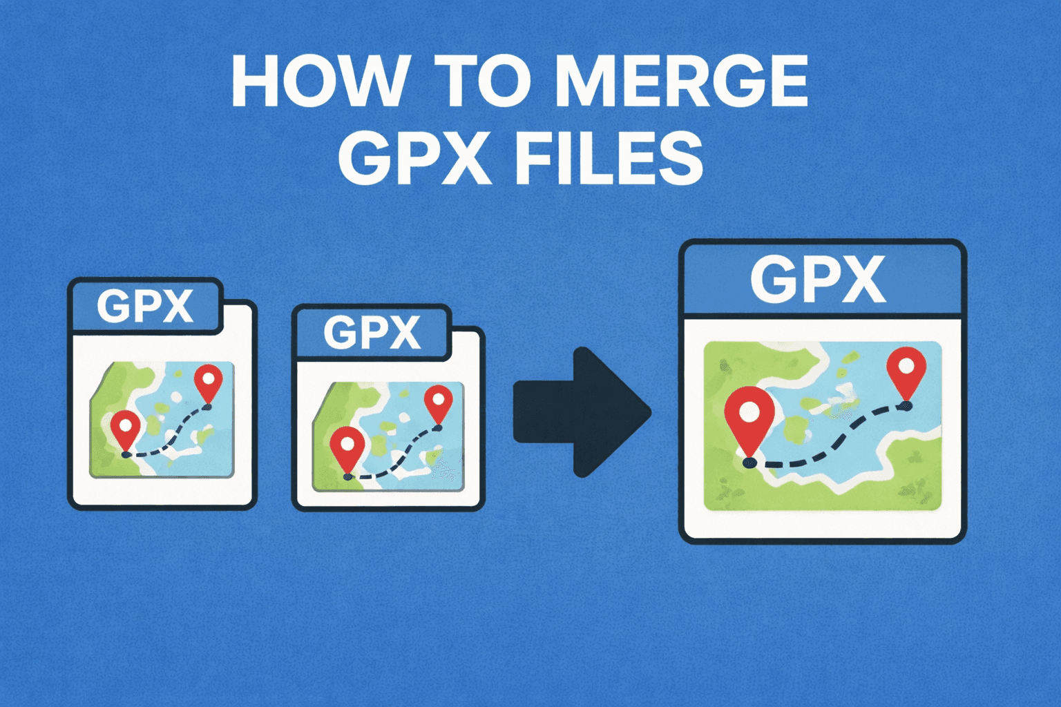
How to Merge GPX Files: Free Tools & Methods (2026)
Merge GPX files with an online tool, Python, or GPSBabel. Combine tracks, waypoints, and routes from Garmin, Strava, Komoot, and more.