7 Best GPX Editors and Viewers for Mac in 2026


On this page
A GPX file may include the drive to a trailhead, a GPS spike across a lake, or a route facing the wrong direction. GPX Editor is the best overall GPX editor for Mac because it is a native Universal app that can move or delete points, edit waypoints and routes, combine tracks, and save a corrected GPX.
Choose QMapShack for advanced offline maps, GPXSee for read-only inspection, or Garmin BaseCamp when Garmin hardware is central to the workflow. The first decision is simple: do you need to change the file, plan a route, or only view it?
GPX Editor vs Viewer, Planner, Analyzer, and Device Manager
A viewer displays GPX data and may chart elevation or sensor values without changing the file. A planner creates a future path, while an analyzer calculates statistics and a device manager transfers data to hardware. Only an editor changes imported coordinates, waypoints, tracks, or routes and exports a new GPX. This ranking therefore gives direct editing more weight than map appearance.
1. GPX Editor - Best Overall Native GPX Editor for Mac
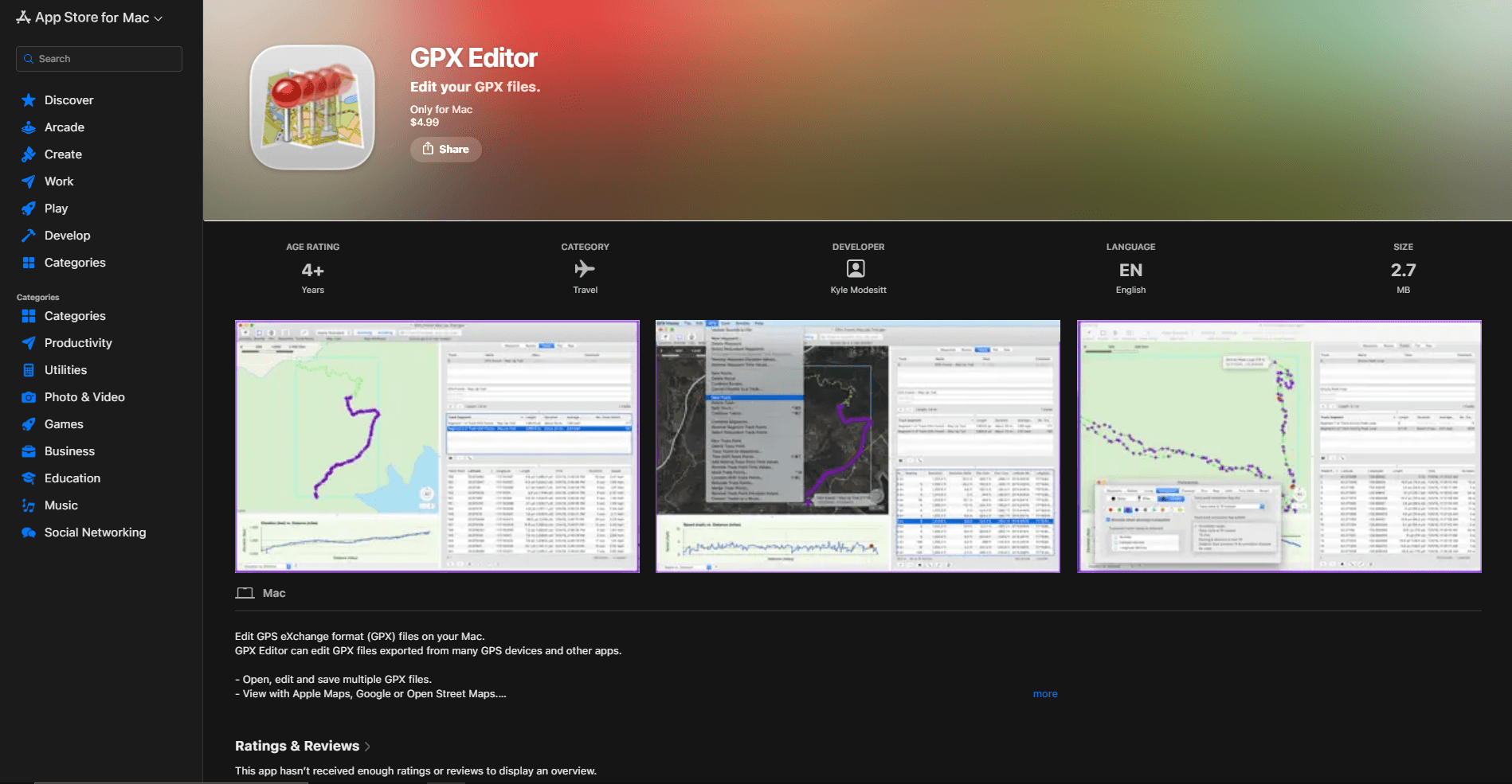
Choose GPX Editor for direct point and waypoint repair in a native Mac app. It opens multiple files, edits tracks, routes, segments, waypoints, points, and file information, and copies tracks between files. A typical cleanup is straightforward: delete the points recorded before a ride, move a GPS spike, combine another segment, and save a corrected copy.
What you get
- Native editing of track points, routes, waypoints, segments, and file details
- Track combining, optimization, conversion, elevation charts, and multi-file work
- A Universal Mac App Store application for Intel and Apple silicon
What you don't get
- Preservation of GPX extensions such as heart rate, cadence, power, and device-specific fields
- A complete downloadable offline topographic-map workflow
- A free application
The App Store lists a one-time $4.99 US price and identifies the app as Universal for Intel and Apple silicon. Version 4.0.1 remains current after its macOS 15 fixes. Installation is simpler than the unsigned downloads elsewhere in this list, but the app does not document a complete downloadable topographic-map workflow.
The decisive warning is stated by the developer: GPX extensions are ignored. Heart rate, cadence, temperature, power, and device-specific fields may disappear when the file is saved. Keep the original and inspect any export that will return to a fitness service.
Main limitation: it is the most direct native editor here, but its documented decision to ignore GPX extensions makes it a poor round-trip choice for files whose sensor or device-specific data must survive.
2. QMapShack - Best for Advanced Offline Maps and Route Work
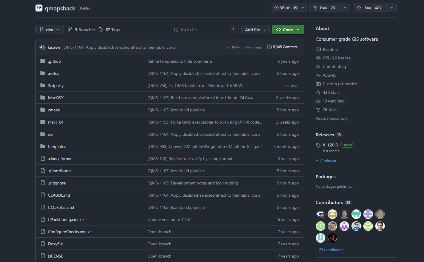
Choose QMapShack when editing is part of a larger offline mapping project. It combines track and waypoint editing, route creation, project storage, elevation analysis, multiple map layers, local routing, track snapping, filters, and supported GPS-device access. It can cut, combine, reverse, smooth, and resample tracks with unlimited undo and redo.
What you get
- Deep track editing with filters, track snapping, and unlimited undo and redo
- Offline maps, DEM elevation, local routing, and multi-layer map projects
- Waypoint management, project storage, and support for selected GPS devices
What you don't get
- A quick setup for one small GPX correction
- A Mac App Store installation or the simplest Gatekeeper experience
- A guarantee that every proprietary field survives an edited export
QMapShack is free under GPL-3.0 and works offline after maps, elevation models, and routing data are installed. Version 1.20.3 links to separate ARM64 and x64 Mac bundles. These contributor-built packages are outside the App Store, and macOS may require approval through System Settings > Privacy & Security > Open Anyway.
Projects can live in QMapShack's database rather than in the original GPX. Import a copy, export the finished route deliberately, and retain the source because filters may intentionally rewrite timestamps, elevation, speed, and geometry.
Main limitation: QMapShack has the deepest Mac workflow in this list, but map sources, DEM files, routing engines, projects, architecture-specific downloads, and Gatekeeper approval make the first hour more demanding.
3. RouteConverter - Best for Free Editing and Format Conversion
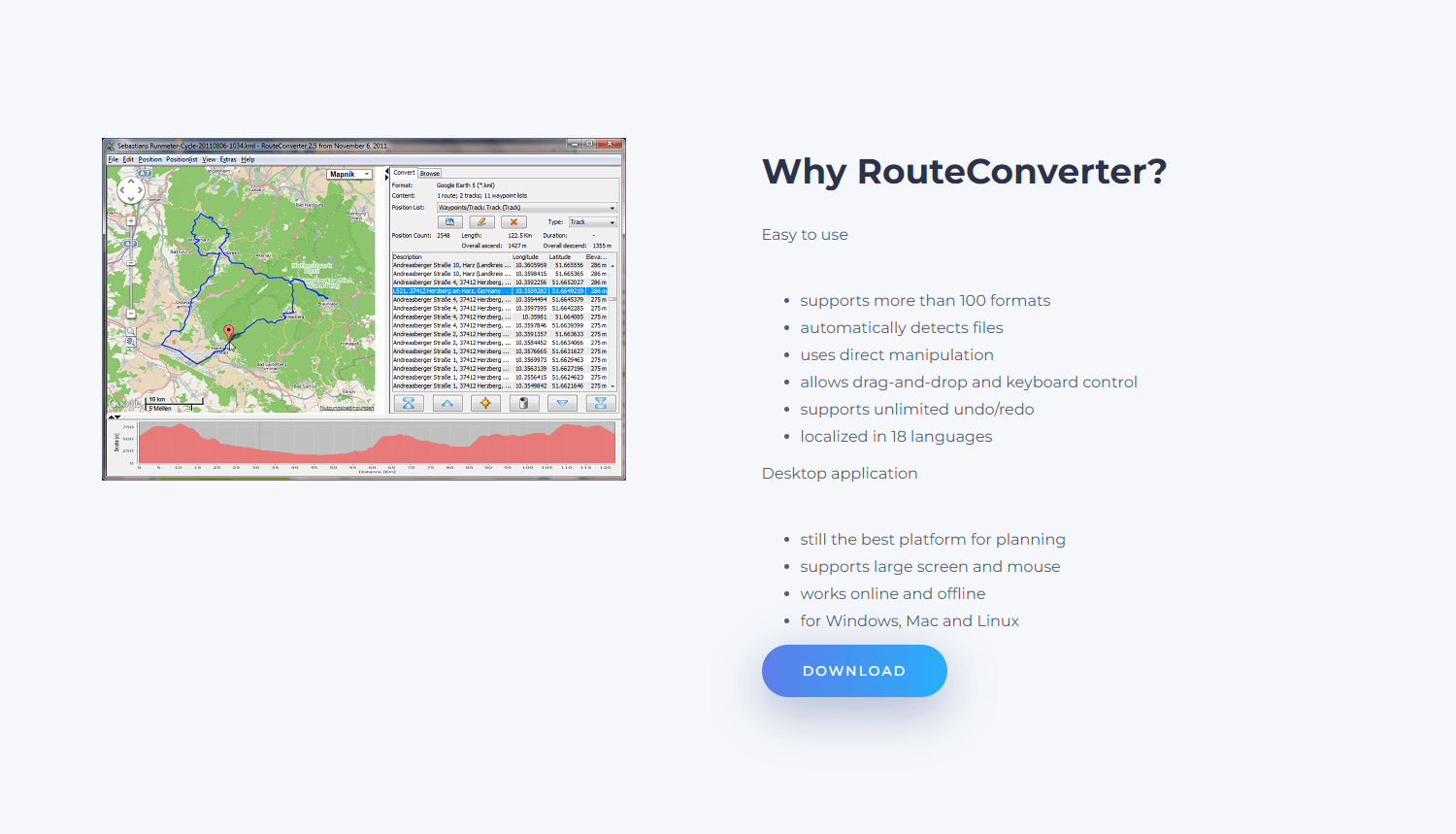
Choose RouteConverter when the job combines GPX repair with format conversion. Its position list exposes tracks, routes, and waypoints so coordinates can be moved, inserted, deleted, reordered, split, merged, reversed, or converted. The free application recognizes more than 100 formats and supports unlimited undo and redo.
What you get
- Direct editing of coordinates, tracks, routes, and waypoint lists
- Splitting, merging, reversing, conversion, and support for more than 100 formats
- Free local editing with offline maps and routing after setup
What you don't get
- A native Mac interface or a digitally signed download
- Lossless preservation of every GPX extension and sensor field
- Ready-to-use offline maps without downloading additional data
Version 3.5 provides separate Apple-silicon and Intel packages with Java 21 bundled. Local editing needs no account, and downloaded Mapsforge maps and routing data can work offline. The main Mac concern is signing: the developer says the download is unsigned. Do not disable Gatekeeper globally; use the normal per-app approval process or choose a signed alternative.
Broad format support does not guarantee that every private sensor or vendor field will survive conversion. Retain the source and inspect timestamps, elevation, heart rate, cadence, metadata, symbols, and links that matter.
Main limitation: the unsigned direct download and non-native interface are meaningful Mac compromises, while broad format support does not guarantee lossless GPX round trips.
4. gpx.studio - Best for a Quick Edit in Safari
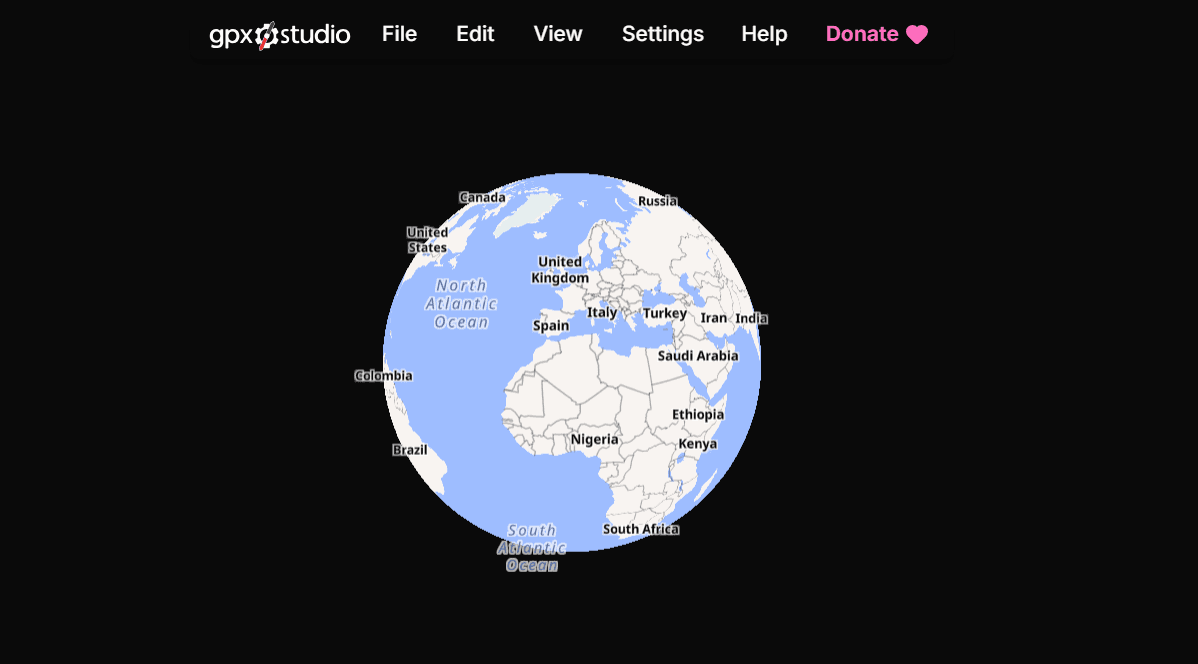
Use gpx.studio for an occasional edit in Safari. It can move points, create routes, edit waypoints, crop, split, reverse, merge, simplify, and reorganize tracks and segments before downloading a new GPX. Files from iCloud Drive must finish downloading before the browser can open them.
What you get
- Point movement, cropping, splitting, reversing, merging, and file-structure tools
- A free editor that runs in Safari without installation or an account
- Controls for common time, elevation, and sensor fields during export
What you don't get
- A dependable offline workflow for maps, routing, elevation, and place search
- A native Mac application or permanent local project library
- Untouched timestamps or sensor values when transformation tools are used
No installation or account is required for local files. The project says GPX processing happens in the browser, but maps, routing, elevation, and geocoding still use network services. Its tools can replace elevation, shift timestamps, average inserted sensor values, and simplify points, so export under a new name and keep working files in Finder.
Main limitation: gpx.studio is excellent for a quick Safari edit, but routine maps, elevation, place search, and route calculation depend on network services.
5. Garmin BaseCamp - Best for Garmin GPS Devices
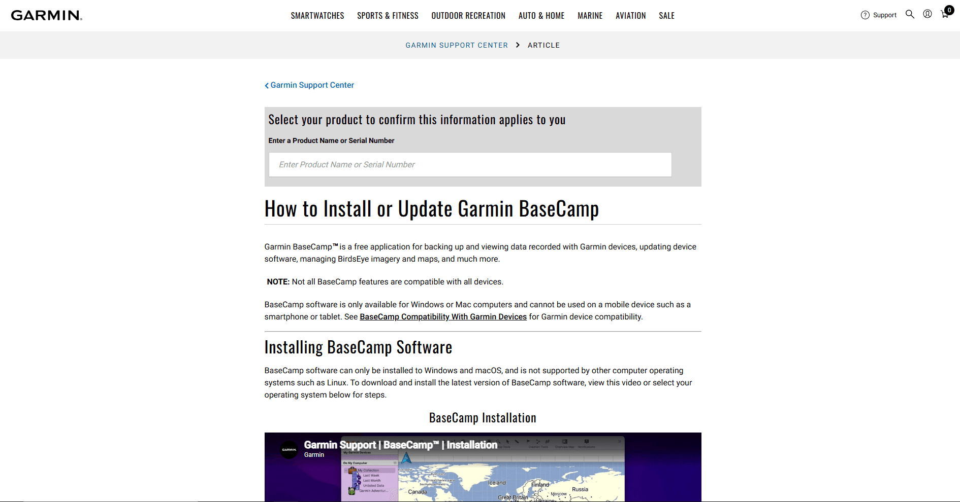
Choose Garmin BaseCamp only when Garmin hardware or maps are part of the workflow. It can move or delete points, split and join tracks, reverse during a join, filter excess points, create routes and waypoints, convert routes and tracks, export GPX, and transfer data to compatible devices.
What you get
- Track, route, and waypoint editing tied to Garmin device workflows
- Splitting, joining, reversing, filtering, conversion, and GPX export
- Access to compatible Garmin maps and direct transfer to supported hardware
What you don't get
- A native Apple-silicon build; Rosetta may be required
- A strong reason to use it when no Garmin device or map product is involved
- Guaranteed preservation of route behavior, elevation, and every waypoint field during export
Garmin lists version 4.8.13 as current, identifies it as Intel software, and says Rosetta may allow it to run on Apple silicon. The app is free, while offline maps depend on installed Garmin products or a connected device.
Exported routes do not retain route elevation, and waypoint exports do not carry every possible field. Copy device data into My Collection, edit a duplicate, and export a backup before sending anything back to the unit.
Main limitation: BaseCamp's current Mac build depends on Intel code and potentially Rosetta, so it is difficult to recommend for a new Apple-silicon workflow without Garmin hardware.
6. GPXSee - Best Lightweight GPX Viewer and Analyzer
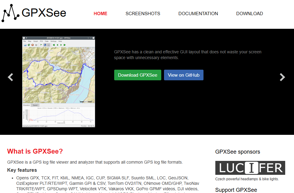
Choose GPXSee when a GPX file needs inspection, comparison, printing, or image export rather than correction. It displays tracks, routes, waypoints, elevation, speed, heart rate, cadence, power, temperature, and gear data when available. Multiple files and offline raster or vector maps are supported, but GPXSee cannot save corrected coordinates.
What you get
- Fast read-only inspection of tracks, routes, waypoints, and sensor graphs
- Support for multiple files, many GPS formats, and offline raster or vector maps
- PDF and PNG export without rewriting the GPX file
What you don't get
- Track-point, waypoint, or route editing
- Export of a corrected GPX file
- Bundled offline maps or a clearly documented processor architecture
Version 16.12 was released in August 2026, making GPXSee one of the most actively maintained choices here. It is free and open source, but its public download page does not clearly label the Mac package as ARM64, Intel, or Universal. The self-signed app may also need individual approval in System Settings > Privacy & Security.
Offline maps must be downloaded and configured separately. Once installed, they provide a local inspection workflow without rewriting the source GPX.
Main limitation: it is intentionally read-only for GPX data, and the developer does not publish a simple architecture label for the current Mac package.
7. TrailRunner mini - Best Dedicated Route Planner for Mac
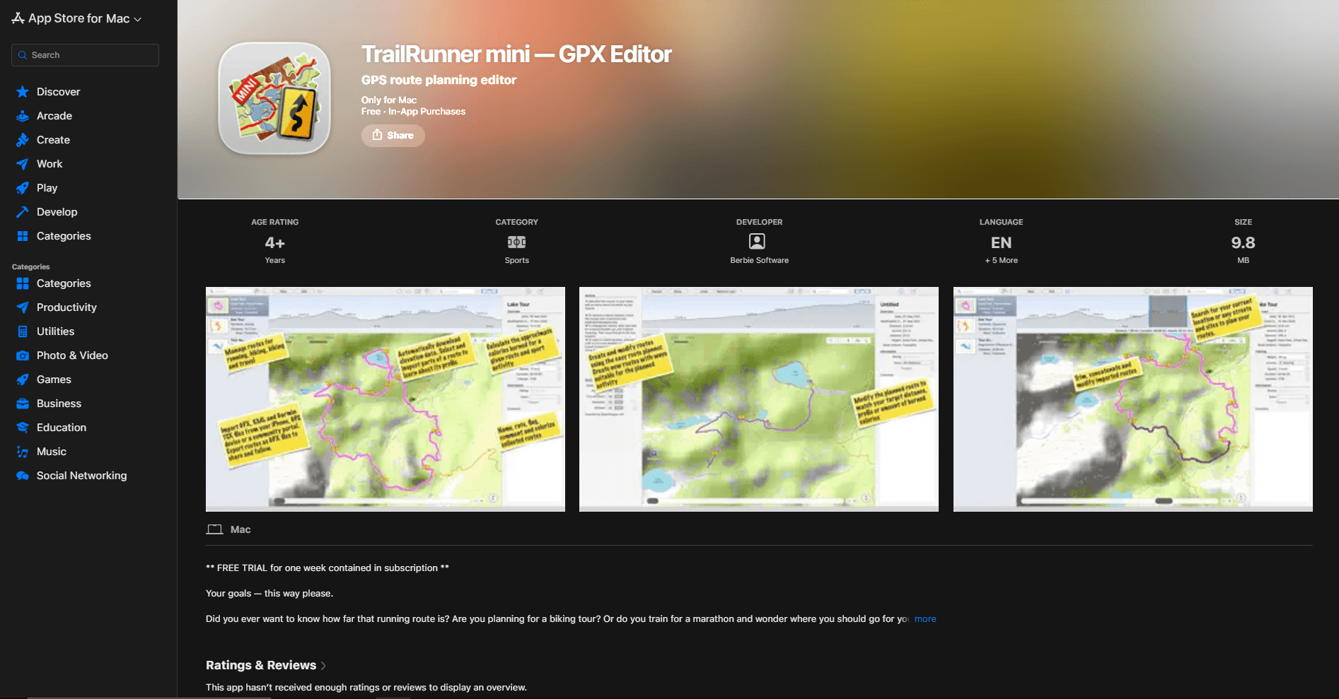
Choose TrailRunner mini when the goal is planning a running, hiking, or cycling route around distance, elevation, and trails. Version 4.0 rebuilt the app for Mac, iPhone, and iPad with collections, iCloud synchronization, route playback, local OpenStreetMap routing, and GPX, KML, TCX, and FIT import. It remains a planner rather than a point-by-point repair tool.
What you get
- Route planning for running, hiking, and cycling with distance and elevation guidance
- OpenStreetMap routing, route modification, section inspection, and mile markers
- Import from several fitness formats plus GPX export and route organization
What you don't get
- Detailed point-by-point repair of recorded tracks
- Continued use after the 14-day trial without a subscription or license
- Guaranteed preservation of arbitrary extensions from imported activity files
The current listing requires macOS 15.7 or later and includes a 14-day trial. At review time, US prices were $4.99 per month, $24.49 per year, or $89.99 for a license. The listing describes one app across Apple devices but does not state Mac processor architecture clearly enough for an Intel-versus-ARM claim.
Routing happens on the device after the required OpenStreetMap region is downloaded. Map tiles and routing data are separate downloads, so prepare the destination area before disconnecting. Export planned routes under a new name because arbitrary extensions and the original activity structure are not guaranteed to survive.
Main limitation: it is a paid route planner for recent macOS releases, not a general recorded-track repair tool.
GPX Editor and Viewer Comparison for Mac
Best Mac GPX Application by Use Case
Choose GPX Editor for inaccurate points, unwanted ends, misplaced waypoints, or segments that need combining. Choose QMapShack when downloaded maps, local routing, DEM elevation, and long-lived projects justify a more involved setup.
Choose RouteConverter when GPX must be converted to or from FIT, TCX, KML, CSV, or another navigation format. Use GPXSee for read-only inspection, sensor graphs, comparison, or PDF export.
Use TrailRunner mini when target distance, elevation, and trail routing matter more than repairing a recorded point sequence. Use BaseCamp only when Garmin hardware, maps, or an existing BaseCamp library are central to the workflow.
Use gpx.studio for a quick Safari edit without installation. Use the GPX Merger when joining files is the only task.
How These Applications Were Selected
Applications were compared on direct point and waypoint editing, route creation, trimming, splitting, joining, reversing, export, offline maps, and device transfer. Current Mac availability, prices, processor support, signing, and maintenance were checked through official App Store pages, repositories, downloads, manuals, and support pages. A viewer was not treated as an editor simply because it displayed a line or exported an image.
Research Methodology and Limits
This is a documentation-based comparison, not an installation or performance test. Store prices use the US storefront, and processor support is left uncertain when a developer does not identify it. No selected app promises to preserve every timestamp, waypoint field, extension, and XML namespace, so test a representative export before adopting an editor for valuable device data.
Mac-Specific GPX File Advice
Open Files from Finder Without Losing the Source
Select the source in Finder, press Command + D, and rename the copy to morning-hike-edited.gpx. Wait for iCloud Drive downloads to finish before importing, then confirm that the exported file exists and reopens before closing the editor.
Set a Default GPX Application Carefully
Use File > Get Info > Open with to select a default app, then Change All if needed. GPXSee is a safer default for casual inspection because it cannot overwrite coordinates. A Finder preview does not prove that every waypoint, timestamp, or extension loaded correctly.
Routes and Tracks Are Not Interchangeable
A route is a shorter set of directions or shaping points that a navigation engine interprets; a track is a dense recording or fixed breadcrumb line. Conversion can remove points or recalculate geometry, so test route instructions on the destination device rather than trusting the Mac preview alone.
Save Destructive Edits as New Files
Trimming, reversing, simplification, elevation replacement, and road snapping can change more than the visible line. Save descriptive copies such as morning-hike-trimmed.gpx or tour-planned-route.gpx instead of overwriting the source.
Privacy, Installation, and Offline Use
A GPX file can expose a home, workplace, routine, or campsite. Trim sensitive ends and inspect waypoints before sharing. Browser processing may keep the file local while map, routing, elevation, and geocoding requests still reveal coordinates to external services.
GPX Editor and TrailRunner mini have the simplest App Store installation. QMapShack and GPXSee may need individual approval, while RouteConverter is unsigned. Offline use also requires preparation: download maps and routing data before disconnecting. GPX Editor is Universal, QMapShack and RouteConverter offer architecture-specific builds, and BaseCamp remains Intel-only.
Frequently Asked Questions
Can you edit a GPX file on a Mac?
Yes. GPX Editor, QMapShack, RouteConverter, gpx.studio, and Garmin BaseCamp can change GPX data and export a new file. The right choice depends on whether the job is point repair, route planning, conversion, offline mapping, or Garmin transfer.
What is the difference between a GPX viewer and a GPX editor?
A viewer draws the file and may calculate graphs or statistics. An editor changes coordinates, waypoints, routes, tracks, segments, timestamps, or metadata and saves new GPX data. GPXSee is a viewer; GPX Editor and QMapShack are editors.
Can Apple Maps open GPX files?
Apple does not document a normal GPX import and editing workflow in Maps for macOS. Applications such as GPX Editor can use Apple Maps as a map layer while the separate editor reads and changes the GPX file.
Can Garmin BaseCamp edit GPX tracks on an Apple-silicon Mac?
Garmin documents point deletion and movement, splitting, joining, reversing, filtering, and GPX export on Mac. The application itself is Intel-only, so Garmin says Rosetta may be needed on Apple silicon. That dependency makes BaseCamp a targeted Garmin recommendation rather than the default Mac editor.
How do I trim a GPX track on macOS?
In GPX Editor, select and delete the points before the start or after the finish. gpx.studio provides a crop slider, while QMapShack and RouteConverter offer track and position editing. Always save the trimmed result under a new name.
Can I combine multiple GPX files on a Mac?
Yes. Several editors can join tracks or move tracks between files. When no map or route correction is needed, the GPX Merger is the shorter local workflow. The GPX merging guide explains how tracks, routes, waypoints, segments, and timestamps affect the result.
Can I edit a GPX file in Safari without installing software?
Yes. gpx.studio can open a local file, edit points and waypoints, crop, split, reverse, merge, and export GPX. The file processing is browser-based, but map, route, elevation, and place-search features can use network services.
Will editing a GPX file remove timestamps or sensor data?
It can. GPX Editor explicitly ignores extensions, and other applications do not promise to preserve every vendor field. Reversing, simplifying, elevation replacement, routing, and format conversion may intentionally change timestamps, geometry, or values. Keep the original and check a representative export.
Which GPX editors run natively on Apple silicon?
GPX Editor is a Universal Intel and Apple-silicon app. QMapShack and RouteConverter provide separate Apple-silicon downloads. BaseCamp is Intel-only. The current GPXSee and TrailRunner mini public pages do not identify architecture clearly enough for a native-support claim.
Related GPX and Mac Guides
- Merge GPX files locally in your browser when joining files is the only required operation.
- Read how to merge GPX files for track, route, waypoint, segment, and timestamp handling.
- Download sample GPX files to inspect the format without exposing a personal route.
- Compare GPX editors for Windows when the same files move between Mac and PC.
- Compare GPX editors and viewers for Android when viewing, editing, or offline navigation must happen on a phone.
- Compare XML editors for Mac when a damaged GPX file needs direct XML inspection rather than map editing.
Final Recommendation
Start with GPX Editor for normal Mac track repair because it is native on Apple silicon and Intel, comes through the App Store, and directly changes the GPX structures most people need. Keep the untouched source because extensions are ignored.
Move to QMapShack when offline maps, DEM elevation, routing engines, or long-lived projects justify the setup. Use GPXSee instead when the file only needs inspection; a viewer is often the safer application when nothing should be changed.
Read More
All Articles
7 Best GPX Editors and Viewers for Windows in 2026
Compare the best GPX editors and viewers for Windows 10 and 11 for editing track points, planning routes, viewing elevation, using offline maps, and managing Garmin devices.

6 Best GPX Editors and Viewers for Android in 2026
Compare the best GPX editors and viewers for Android for repairing tracks, inspecting elevation and sensor data, using offline maps, and navigating routes.
How to Merge GPX Files: Free Tools & Methods (2026)
Merge GPX files with an online tool, Python, or GPSBabel. Combine tracks, waypoints, and routes from Garmin, Strava, Komoot, and more.